
Lake Jocassee Waterfalls: The Complete Visitor Guide
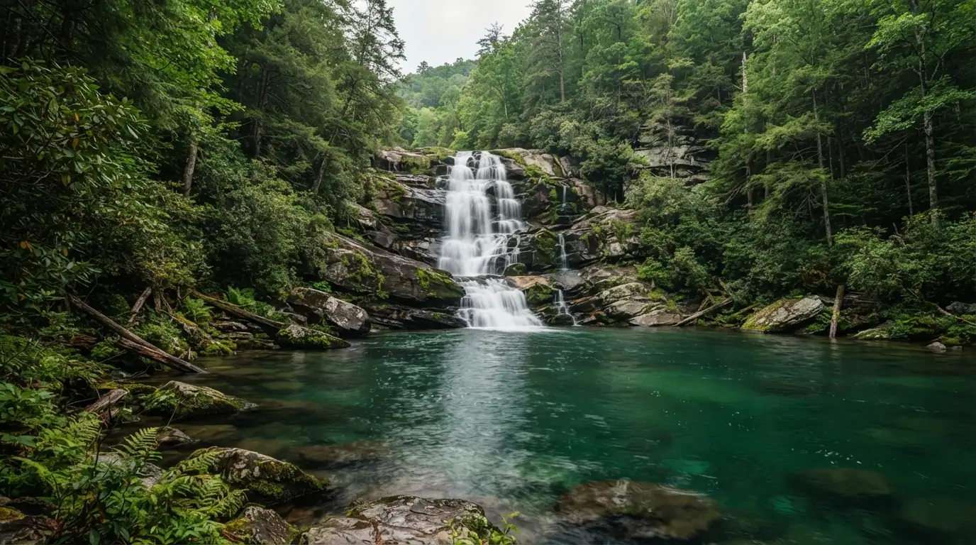
Lake Jocassee waterfalls are best explored by boat, kayak, or a guided lake tour from Devils Fork State Park in Salem, South Carolina. Laurel Fork Falls, Wright Creek Falls, Mill Creek Falls, and Whitewater River rapids reward visitors with clear mountain water, forested coves, swimming spots, and dramatic Blue Ridge scenery.
The challenge is choosing a realistic route, entering before capacity, and respecting water that can become windy and cold quickly.
What are Lake Jocassee waterfalls?
Lake Jocassee is a 7,565-acre mountain reservoir in the Jocassee Gorges. Four rivers and several creeks descend from the Blue Ridge Escarpment, creating waterfalls, hidden cascades, swimming holes, and rapids. Devils Fork State Park provides the only public access and three boat ramps.
Main destinations include Laurel Fork, Wright Creek, Mill Creek, Thompson River, Bad Creek, Devils Hole Creek, and Whitewater River rapids. White Owl, Twin, High, Big, Horsepasture River, and unnamed falls also appear on local lists. Names and pins vary, so carry a reliable map.
Why are there so many waterfalls here?
The Whitewater, Thompson, Toxaway, and Horsepasture rivers plunge from the Blue Ridge Escarpment through the Jocassee Gorges. Hard rock, steep elevation change, heavy rainfall, and the Eastern Continental Divide concentrate the flow.
Winter and spring reveal more seasonal falls. Summer brings warmer swimming, but small cascades can shrink after dry periods. Local guides promote winter for abundant falls and summer for swimming.
Which waterfalls should you prioritize?
Laurel Fork Falls
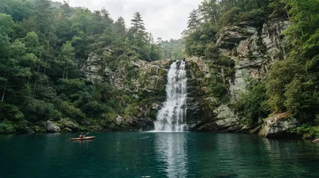
Laurel Fork Falls is the signature sight, dropping roughly 80 feet in three sections inside a thin northeastern cove. Its middle pool can serve as a swimming hole when conditions permit.
Do not mistake it for an easy roadside hike. The official Foothills Trail section from Laurel Valley to the boat access covers 8.1 moderate miles.
Wright Creek Falls
Wright Creek Falls is a tiered western waterfall with close boat and kayak access. Water level changes approach, anchoring, and possible shoreline walking. Never assume behind-the-falls access is safe. Check current, footing, traffic, and lake level.
Mill Creek Falls and smaller cascades
Mill Creek Falls suits boat groups seeking a close view. Devils Hole Creek and unnamed cascades depend on rain. Bad Creek can suit a shorter paddle, while Thompson River fits a longer day.
Whitewater Falls
From the lake, boaters see only the Whitewater River’s final rapids. Upper Whitewater Falls drops 411 feet and Lower Whitewater Falls another 400 feet. The land-based upper site operates dawn to dusk and charges $3 per vehicle.
How do you reach the waterfalls from Devils Fork State Park?
Devils Fork State Park, at 161 Holcombe Circle in Salem, opens daily at 7 a.m. It closes at 9 p.m. in the warm season and 6 p.m. in the cool season. Admission is $8 per adult, $5 for South Carolina seniors, and $4 for ages 6 to 15. Younger children and Tuesday visitors enter free.
Weekend and holiday lines peak from 9 a.m. to 4 p.m. Reserved vehicle and trailer spaces include admission for two, but booking prices vary. Arrive near opening on summer Saturdays.
Should you take a tour, rent a pontoon, or kayak?
Choose a guide for efficient navigation and several falls. Jocassee Lake Tours lists general tours from $65, a six-hour All the Falls tour from $125, private tours from $425, and one-day kayaks at $50 single or $60 tandem, including PFD, whistle, paddle, and map.
Another operator lists private tours from $425 for four hours, $595 for six, and $745 for eight, with group limits and extra-person fees.
Pontoons suit families and several stops. Kayaks offer quiet cove access but demanding returns. Canoes and paddleboards belong on calm, protected routes, not rushed crossings in rising wind.
Eclectic Sun operates seasonal on-site rentals from the park pavilion, including pontoons, canoes, kayaks, stand-up paddleboards, and jet skis. Regional listings also name Jocassee Outdoor Center and Jocassee Keowee Rentals for motorized and paddle craft. Reserve ahead for summer weekends, then confirm launch instructions, fuel policy, cancellation terms, pet rules, and return time directly with the operator.
How long should you allow?
Tour options commonly last three to six hours, with full-day private trips reaching eight. Kayak routes range from short shoreline paddles to full-day western or northern outings.
Set a turnaround time and allow for stops, wind, wakes, and a slower return. Beginners should choose one nearby objective.
What is the best season and time of day?
March through May offers spring growth and stronger seasonal flow. Oconee Bells bloom from mid-March to early April. June through August favors swimming but brings crowds. October and early November add color. Winter offers solitude and extra cascades, with greater cold-water risk.
Launch early for more time and fewer boats. Late starts increase exposure to afternoon wind and storms. The park’s capacity advisory also makes an early arrival especially important on weekends and holidays.
What are the downsides of this waterfall?
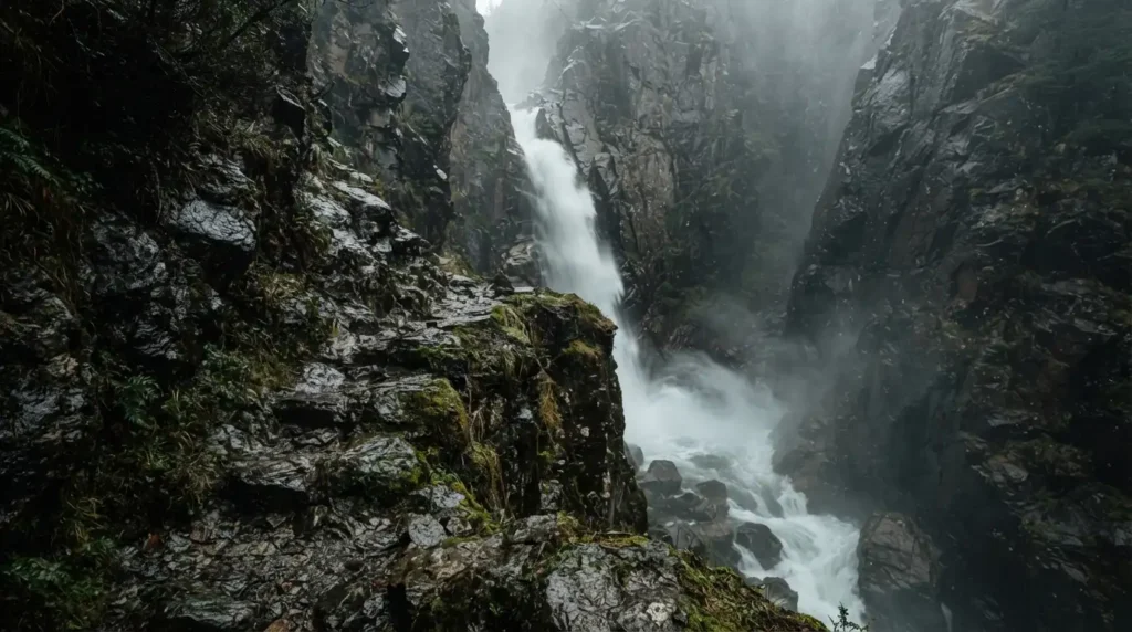
The lake is not a quick roadside attraction. Popular coves can feel cramped with pontoons, swimmers, and kayaks. Summer entry lines can erase a late start, small waterfalls may weaken after dry weather, and phone service may be unreliable in remote arms. Wet rock scrambles carry real fall risk. Self-guided boaters can also burn time and fuel following poor map pins. A guide costs more, but often prevents an expensive day of searching.
What safety risks matter most?
Wear a Coast Guard-approved PFD. State guidance warns that cold water can kill, while the National Weather Service advises keeping an escape route before thunderstorms block shore access. Gusts can overturn small craft.
Carry a waterproof map, downloaded GPS route, whistle, dry bag, water, food, sun protection, rain layer, quick-drying clothing, and closed-toe water shoes. Avoid wet rock, impact zones, submerged hazards, and moving boats. Pack a picnic because no restaurant is reachable from the lake.
Conclusion
Lake Jocassee waterfalls reward good planning more than aggressive sightseeing. Choose one route that matches your craft and skill, arrive at Devils Fork early, check rainfall and weather, and leave enough energy for the return. For most first-time visitors, a guided tour or conservative half-day paddle delivers the best balance of scenery, safety, and time.
FAQs
What would you recommend for first-time kayakers?
Stay near protected shoreline, choose one close waterfall, launch early, and avoid long open-water crossings.
Which side of the lake should we stick to, and how many hours do we need?
Start in the Devils Fork arm and allow at least half a day for a relaxed beginner outing.
How big is the lake and how easy is it to paddle across?
It covers 7,565 acres. Open crossings can become difficult with wind, wakes, and fatigue.
Is there a spot to pull a boat up to a waterfall?
Yes, conditions may permit landing or tying off near several falls, but lake level and congestion change access.
Were many of the waterfalls running?
Flow depends on recent rain and season. Winter and spring usually reveal more small cascades.
How many waterfalls are on Lake Jocassee?
No reliable single count exists because many cascades are unnamed, seasonal, or known by local nicknames.
What are the best waterfalls on Lake Jocassee?
Prioritize Laurel Fork, Wright Creek, Mill Creek, Thompson River, and the Whitewater River rapids.
Can you see the waterfalls without a boat?
The lakefront falls require water travel from Devils Fork. Whitewater Falls has separate road and trail access.
Is the Devils Fork to Wright Creek paddle too intense for a beginner?
It can be. Distance, open water, wind, and the return make it a poor first-ever kayak trip.
How long does it take to kayak to Wright Creek Falls?
It varies by launch, pace, wind, and stops. Treat it as a substantial outing, not a quick paddle.
Can you paddle behind Wright Creek Falls?
Sometimes conditions allow close access, but current, lake level, and falling water decide whether it is safe.
Which waterfall is closest to the boat ramp?
The answer depends on the exact launch and mapping method. Confirm with the ranger, outfitter, or current route map.
Do I need a boat, or can I hike to Laurel Fork Falls?
Water access is practical from Devils Fork. The official overland route is an 8.1-mile moderate trail section.
Is a guided tour better than renting a pontoon?
A guide is better for navigation and interpretation. A pontoon offers privacy and a flexible schedule.
How many waterfalls can I see in one day?
A motorized six-hour tour can cover the principal falls. Paddlers should plan far fewer.
What lake level is best for Laurel Fork Falls?
No fixed level guarantees access. Higher water can improve boat approach but tighten safe maneuvering space.
How does low water change Wright Creek Falls?
It may expose shoreline and walking access while preventing boats from approaching as closely.
How do afternoon winds affect the return paddle?
They increase effort, create chop, and may turn an easy outbound route into a difficult return.
Can an experienced kayaker cross the main body safely?
Yes in suitable conditions, but only with weather checks, flotation, navigation, and a clear escape plan.
What is the best six-hour Thompson and Wright route?
Use a guide or GPS-tested plan because launch choice, lake level, wind, and stopping time alter the route.
Which ramp has the least powerboat traffic?
Traffic changes by day and season. Ask park staff which launch best matches your route that morning.
Can I combine Laurel Fork Falls with a Foothills Trail hike?
Yes, but distinguish a short boat-access spur from the long overland Foothills Trail approach.
Where can I tie off near Laurel Fork Falls?
Use only a safe shoreline point outside congested water and never block the narrow cove entrance.


