
Hatcher Pass Hikes: The Complete 2026 Trail and Fee Guide
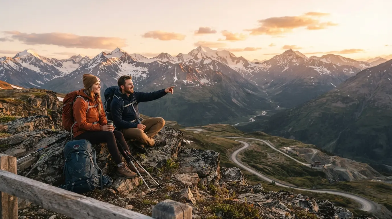
Hatcher Pass hikes range from a flat fifteen minute stroll around Summit Lake to a multi day glacier crossing on the Bomber Traverse, and most visitors can find a trail that fits their fitness level within an hour of Anchorage. The tricky part isn’t finding a trail. It’s figuring out which one matches your time, your legs, and your budget before you’re already standing at a trailhead with a confused look on your face.
Hatcher Pass sits in the Talkeetna Mountains, about sixty miles north of Anchorage and a short drive past Palmer and Wasilla. The area built its reputation on gold mining more than a century ago, and that history still shapes the landscape today. Independence Mine State Historical Park anchors the region, its weathered buildings sitting below peaks that rise well above treeline. That elevation matters more than people expect. Above treeline means open views almost immediately, and it also means far fewer mosquitoes than you’ll find on lowland Alaska trails during the brutal June and July bug season.
Where Is Hatcher Pass and How Far Is It From Anchorage
Hatcher Pass is roughly sixty miles north of Anchorage, which works out to about ninety minutes of driving depending on traffic through Palmer. From Wasilla, it’s closer to thirty minutes. There are two ways in. The Palmer Fishhook side is paved most of the way and leads straight to Independence Mine. The Willow side connects further north near Talkeetna and turns to gravel for most of the drive.
Most day trippers use the Fishhook side because it’s simpler and keeps the drive on pavement longer. If you’re combining a Hatcher Pass visit with a trip toward Denali, driving through to the Willow side saves backtracking, but check your rental agreement first. That gravel stretch trips up a lot of first time visitors.
Is Hatcher Pass Worth Hiking
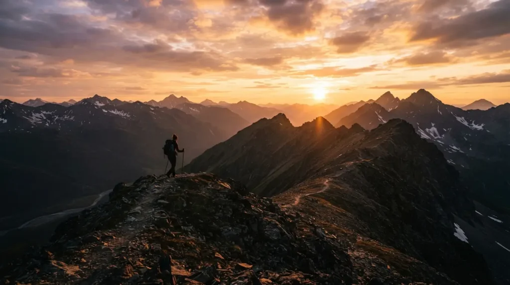
Yes, and the reason comes down to accessibility paired with genuinely dramatic scenery. Few places in Alaska let you reach alpine terrain, glacial lakes, and mining ruins this quickly from a major city. Hatcher Pass hikes deliver payoff fast. Several trails reach a lake or a ridge view within the first mile, which is rare for alpine hiking anywhere.
The tradeoff is unpredictability. Weather shifts fast at elevation, and snow can linger on shaded trail sections well into what feels like the heart of summer. Travelers consistently find that the reward outweighs the hassle, but going in with realistic expectations makes the day smoother.
When Is the Best Time to Hike Hatcher Pass
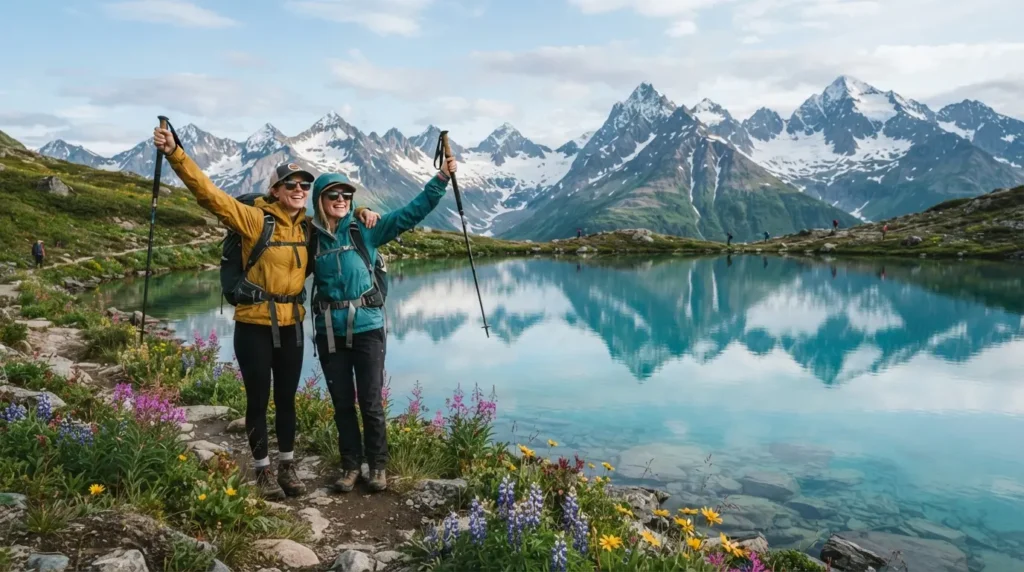
The dependable window runs from July through early September. Hatcher Pass Road over the summit typically opens around July 1 and closes by mid September, though the exact dates shift each year based on snowpack. Locals recommend waiting until at least mid July for higher elevation trails like Reed Lakes Trail and Gold Cord Lake Trail, since both can hold two to three feet of snow well into early summer even when Anchorage feels like full summer.
Late July through August tends to bring the most stable weather and the best wildflower displays, though afternoon showers are common in the Talkeetnas during that stretch. A common mistake first timers make is checking the weather in Anchorage or Palmer and assuming it applies at the pass. It rarely does. Conditions at elevation run their own schedule.
How Do I Check Current Trail Conditions Before Driving Up
Before committing to a specific trail, check the official Alaska DNR park conditions report, which lists snow depth, mud, and trailhead status by name. Pair that with 511 Alaska for road closures. In shoulder season, spring and early fall especially, also check the Hatcher Pass Avalanche Center, since the road can be gated shut near mile 14 due to avalanche risk even after the summer season technically starts. Skipping this step is the single most common reason visitors show up to a trail buried in snow.
Is Hatcher Pass Road Open to Rental Cars
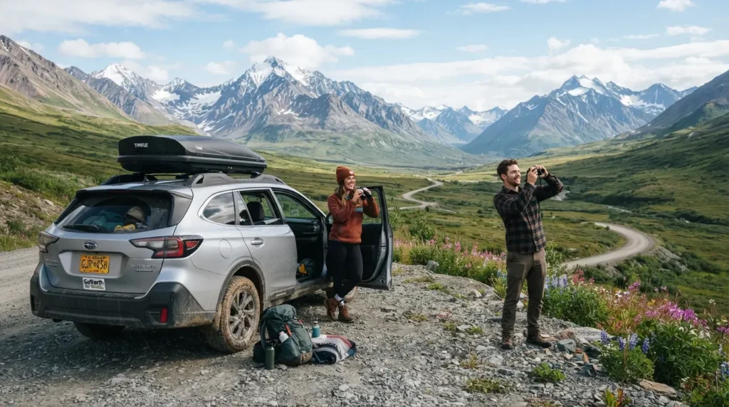
Partially. The paved section from Palmer to Independence Mine works fine for any rental car. Past that point, the road turns to gravel, and so does Archangel Road, which accesses Reed Lakes and several backcountry trails. Most standard rental agreements prohibit gravel road travel, and companies do check for damage claims. If you plan to drive the full route or head toward Willow and Talkeetna afterward, look for a rental company that explicitly allows gravel roads rather than assuming your standard contract covers it.
How Much Does It Cost to Hike in Hatcher Pass in 2026
Parking fees at Hatcher Pass are not one flat rate anymore, which surprises a lot of visitors relying on older blog posts. As of 2026, fees vary by trailhead:
| Trailhead | Fee | Notes |
| Gold Mint Lot | $15 per vehicle | Covers parking or camping |
| Fishhook Lot | $10 per vehicle | Covers parking or camping |
| Independence Mine, Summit Lake, most other trailheads | $5 per vehicle | Day use fee |
Electronic pay stations at each lot accept major cards, so cash isn’t strictly necessary anymore, though it’s smart to carry some as backup. Expect to pay around five to fifteen dollars total for a day at Hatcher Pass, depending on which trailhead you park at. Government Peak Campground charges fifteen dollars per site for its eight first come, first served spots.
What Is the Easiest Hike in Hatcher Pass
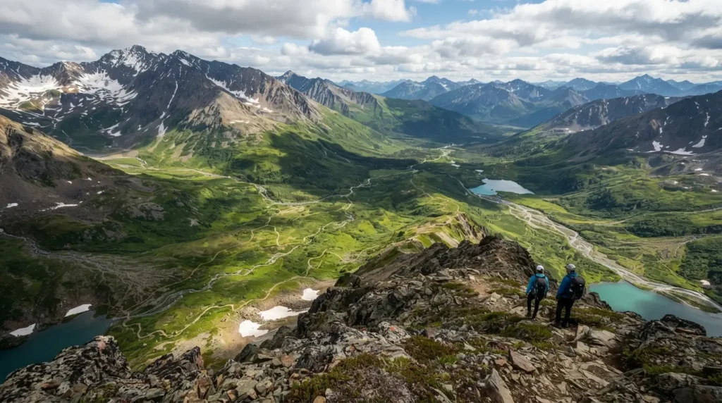
Summit Lake wins this category by a wide margin. It’s a half mile loop with only about sixty to seventy five feet of elevation gain, and most people finish it in fifteen minutes. The trail circles a deep blue lake right at the summit parking area, making it a solid option for travelers with limited mobility or anyone who just wants a scenic stretch break. Parking fills quickly here in peak season since it doubles as the pass’s main overlook.
What Is the Best Short Hike in Hatcher Pass
Gold Cord Lake Trail is the standout short hike. It runs about 1.5 miles round trip with roughly 480 to 580 feet of elevation gain, and most hikers finish in under an hour. The trail starts across from Independence Mine’s parking lot, climbs through a short steep scramble, and opens up to a lake tucked into a bowl of jagged peaks. April Bowl Trail is a close second at 2.2 miles, offering bigger views for a bit more effort. Both consistently rank as favorites among locals who hike the area regularly.
What Is the Hardest Standard Hike in Hatcher Pass
Marmot Mountain, accessed from the Fishhook Trailhead, is the toughest hike most day hikers attempt. It gains nearly 2,000 feet in just 1.3 miles with no switchbacks, meaning it’s a relentless, steady climb the entire way. It’s doable for a fit hiker but not a casual outing. Anyone looking for something beyond that level moves into true expedition territory with the Bomber Traverse, covered further down.
How Long Is Reed Lakes Trail and How Hard Is It
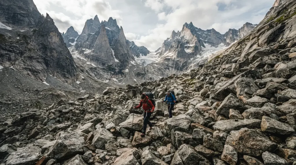
Reed Lakes Trail runs 6.6 miles round trip to Lower Reed Lake, or up to 8.7 to 8.8 miles if you continue to Upper Reed Lake, with total elevation gain around 2,160 to 2,247 feet. The trail includes a lengthy boulder field scramble that slows most hikers down considerably, so budget four to six hours for the full route. The trailhead parking lot is notoriously small and rough, and it fills early on weekends. Arriving before nine in the morning during peak summer is the difference between parking comfortably and circling for a spot.
What’s the Difference Between April Bowl and Summit Lake
These two get mixed up constantly, and it’s an honest source of confusion rather than a silly mistake. One of the small lakes inside April Bowl is sometimes informally called Summit Lake by hikers, but the actual Summit Lake trail is a completely separate, flat loop near the summit parking area. April Bowl requires real climbing to reach its lakes and ridgeline, while Summit Lake is closer to a lakeside walk.
Can I Hike Hatcher Pass With Kids
Several trails work well for families. Gold Cord Lake Trail, Summit Lake, and the lower portion of April Bowl Trail (turning around after the first half mile) all suit kids reasonably well, with manageable distances and only short scrambling sections. Longer routes like Gold Mint Trail or the full Reed Lakes Trail are better saved for older kids with hiking experience, since both involve significant distance and rougher terrain.
Are There Bears at Hatcher Pass and How Should I Prepare
Hatcher Pass sits in bear country, home to both black bears and the more aggressive grizzly bears, though sightings on popular day hike trails remain uncommon. Carrying bear spray is strongly recommended, and it needs to be somewhere you can actually reach it fast, on a hip holster or chest strap rather than buried in a backpack. Knowing how to deploy it before you need it matters just as much as carrying it.
Is There Cell Service at Hatcher Pass
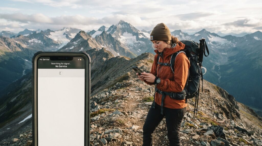
Service is limited to nonexistent through most of the pass. Coverage typically drops once you cross the river heading up from Palmer, regardless of carrier. Downloading offline maps through AllTrails or Google Maps before you leave cell range is essential, since trail junctions aren’t always clearly marked. For longer or more remote hikes, a satellite communicator like a Garmin inReach Mini offers a real safety margin in an area where a twisted ankle can otherwise turn into a serious problem.
What Is the Bomber Traverse and Who Should Attempt It
The Bomber Traverse is an advanced 20.5 mile route connecting Gold Mint Trail to Reed Lakes Trail, passing Mint Hut, Penny Royal Glacier, and Bomber Glacier along the way. This is not a casual hike. It requires glacier travel with crampons or spikes, crevasse awareness, and enough gear and food for two to three days, since the route starts and ends at different trailheads. This one is strictly for experienced backcountry hikers with proper equipment and route finding skills, not a spontaneous add on to a day trip.
Can I Combine Multiple Hikes in One Day at Hatcher Pass
Some pairings work well, others don’t. Gold Cord Lake Trail pairs naturally with a walk through Independence Mine, since both sit at the same parking area and together take about three hours. Adding April Bowl Trail after those two is possible if you start by mid morning, bringing the full day closer to four or five hours. Longer trails like Reed Lakes or Gold Mint each fill an entire day on their own and aren’t realistic to pair with anything else.
Where Can I Stay Near Hatcher Pass
Hatcher Pass Lodge offers rustic cabins near Independence Mine, along with a small restaurant known locally for its hearty salad and chili options and floor to ceiling mountain views. Government Peak Campground has eight first come, first served sites for fifteen dollars each, suited to tents or small RVs. Budget tent camping is also available at the Gold Mint Trailhead for fifteen dollars a night. For more amenities, Palmer and Wasilla both offer hotel and bed and breakfast options within a thirty minute drive.
Final Thoughts
Hatcher Pass hikes reward a little upfront planning far more than most Alaska destinations. Check current conditions, bring layers regardless of the forecast, and match your trail choice to your actual fitness level rather than the one with the best photos online. Do that, and Hatcher Pass delivers some of the most accessible alpine scenery in the state without requiring a wilderness expedition to reach it.
FAQs
Is there still snow on Hatcher Pass trails in July?
Often yes, especially on Reed Lakes Trail and Gold Cord Lake Trail, which can hold two to three feet of snow into early July depending on the year’s snowpack.
Do I need to check avalanche conditions outside of winter?
Yes. Avalanche gates can close sections of the road into early summer, so checking the Hatcher Pass Avalanche Center in shoulder season is worth the two minutes it takes.
Is Hatcher Pass open year round?
The area stays open, but the road over the summit closes seasonally, typically from mid September through late June, cutting off access between the Palmer and Willow sides.
Which trailheads allow rental cars?
Independence Mine and the paved Fishhook side accommodate standard rental cars. Archangel Road and the gravel stretch toward Willow generally do not, per most rental agreements.
Is Reed Lakes harder than Gold Mint Trail?
Reed Lakes involves more technical boulder scrambling despite being shorter, while Gold Mint is longer but gentler underfoot, so difficulty depends on whether you find distance or terrain more challenging.


