
Bentonite Hills Utah: The Complete 2026 Visitor Guide
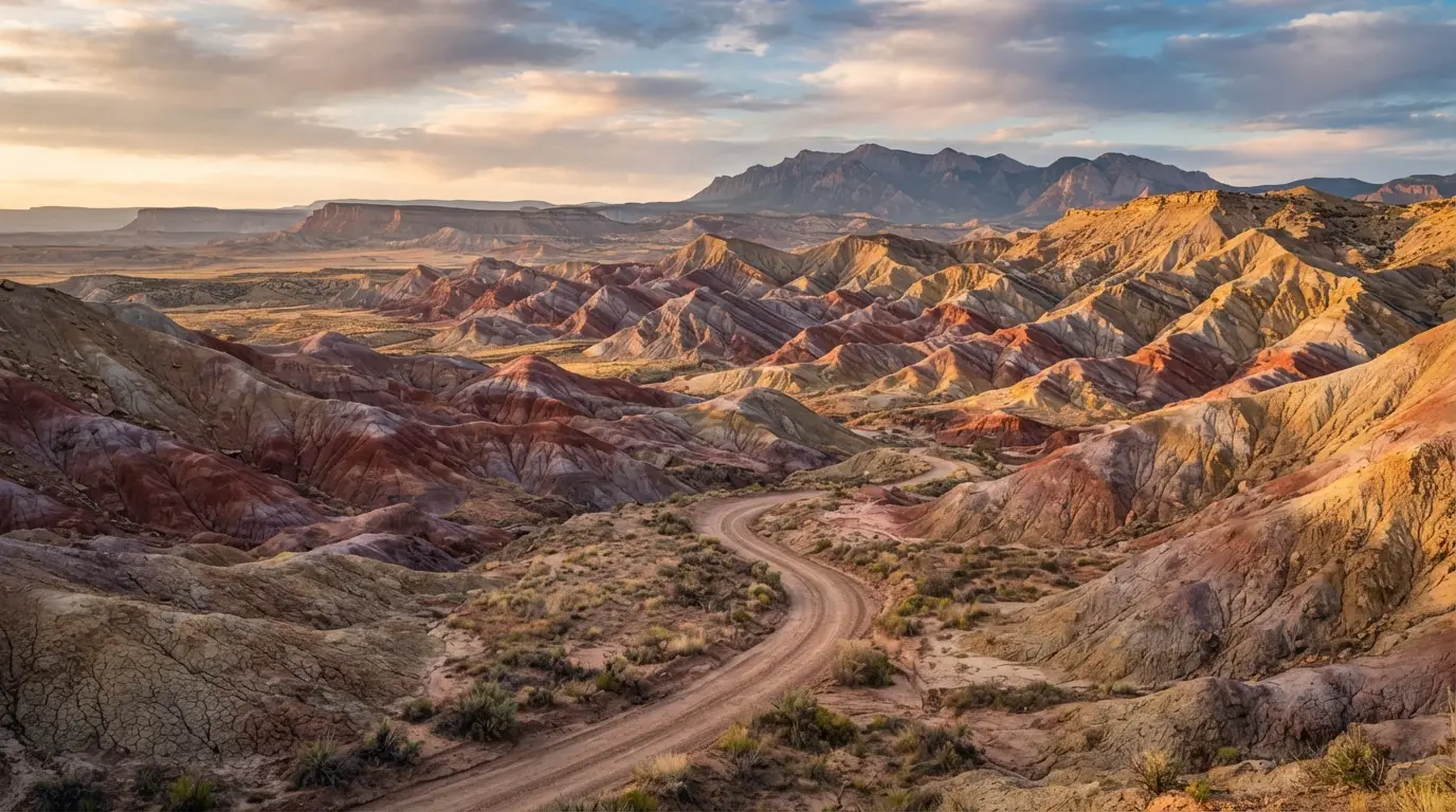
The Bentonite Hills in Utah are striped, multicolored clay formations near Capitol Reef National Park that genuinely look like Mars, especially around sunrise and sunset. If you have read five different blogs and gotten five different driving distances, fees, and vehicle requirements, you are not alone. This guide sorts out the confusion.
What Are the Bentonite Hills in Utah?
The hills are made of ancient volcanic ash turned to bentonite clay, revealing vivid reds, purples, and blues mainly during the low light hours around sunrise and sunset. Under harsh midday sun, they look dull and washed out, which is exactly why timing your visit matters more than almost anything else on this trip.
Where Are They Located?
The formations sit on BLM land just outside Capitol Reef National Park, near the small town of Hanksville, close to Highway 24. There are two distinct areas worth knowing about, one near the Mars Desert Research Station and one along the Cathedral Valley Loop, and mixing them up is where a lot of trip planning goes wrong.
How Were They Formed?
The clay formed roughly 140 to 150 million years ago during the Jurassic period, part of the Brushy Basin Member of the Morrison Formation. Volcanic ash settled into ancient swamps and floodplains, mixed with sediment, and slowly transformed into bentonite clay that erosion later carved into the smooth, colorful domes visible today.
What’s the Difference Between the Two Locations?
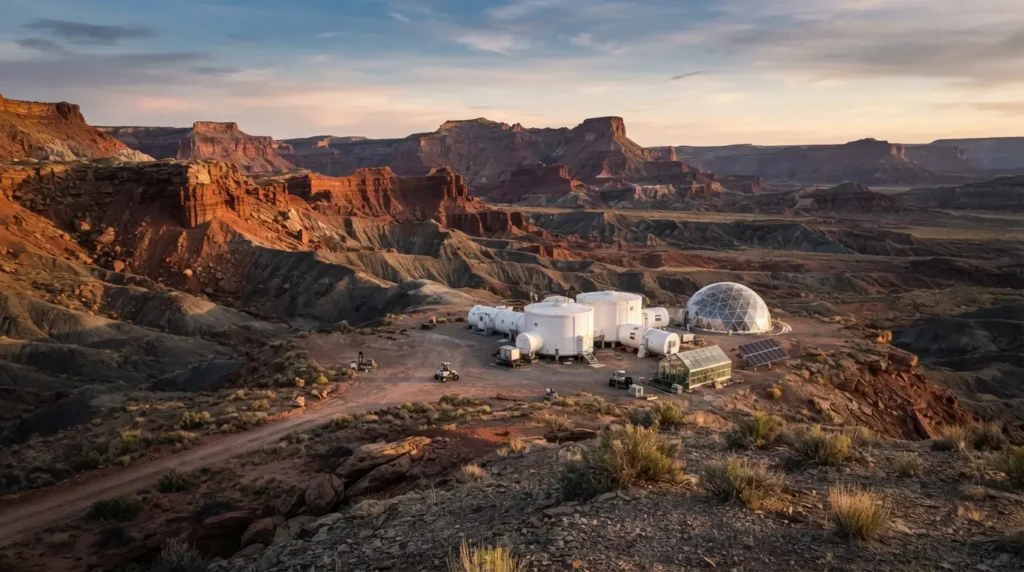
The Mars Desert Research Station area is easier to reach, involves no river crossing, and travelers consistently describe it as the more vibrant of the two spots. The Cathedral Valley Loop location requires a shallow river crossing and a rougher road, but it sits inside a longer, more scenic drive that also passes the Temple of the Sun and Temple of the Moon.
| Location | Access | Best For |
| Near Mars Desert Research Station | Cow Dung Road, no river crossing | Easier access, often more vibrant colors |
| Cathedral Valley Loop | River crossing plus rough dirt road | Combining with a full scenic loop drive |
If you only have time for one, most first timers get the better payoff heading toward the research station area, since it takes less driving skill and less risk to reach.
How Do You Reach the Area Near the Mars Desert Research Station?
From Hanksville, head west on Highway 24, then turn north onto Cow Dung Road, yes that is really its name. Follow it roughly 3 to 3.5 miles past the Mars Desert Research Station turn off, then continue another quarter to half mile to reach the most colorful section of the hills.
How Do You Reach the Cathedral Valley Loop Location?
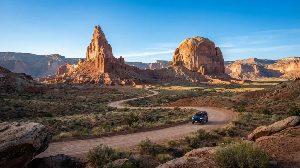
This route starts with a shallow crossing of the Fremont River near the beginning of the Cathedral Valley Loop, followed by at least nine miles down the rocky, sandy Hartnet Road. It is a longer, rougher drive that weaves through Capitol Reef National Park before reaching this stretch of hills.
Do You Need a 4×4 Vehicle?
A high clearance vehicle is strongly recommended for both routes, and a true 4×4 is required for the Cathedral Valley Loop because of the river crossing. The Mars Desert Research Station route is sometimes passable in a 2WD car with decent clearance in dry conditions, and some travelers have made it in ordinary sedans when the road was recently graded, but rain changes everything within hours. A common mistake first timers make is checking the forecast for their destination town instead of the actual dirt road area, where a single afternoon storm can turn the clay to a slick, sticky mess.
If you do not have a suitable vehicle, renting a local Jeep or booking a guided 4×4 tour covers both locations without the risk. Tours typically run 3 to 5 hours and include a knowledgeable local guide who already knows which sections are currently passable.
What Time of Day Looks Most Colorful?
The hills look most vivid during blue hour, roughly the 30 minutes right after sunset or before sunrise, when blues and purples become most pronounced. Golden hour just before that brings out warm reds and oranges, while anything shot at midday tends to look flat and brownish no matter how good your camera is.
What Season Should You Visit?
Late spring, April through May, and fall, from late September through early November, offer the most comfortable temperatures in the 70s. Summer pushes highs into the upper 90s and brings monsoon season, when afternoon storms can trigger flash floods even with minimal rainfall in the immediate area. Winter stays mild with light, unpredictable snowfall, and crowds thin out considerably, so it is a solid option if you can handle cooler blue hour temperatures.
Planning around an app like Photo Pills or Sun Surveyor Lite takes the guesswork out of timing, since both track exact sunrise, sunset, and blue hour windows for your specific location. Arrive an hour or two before sunset to scout your spot, since prime blue hour lighting only lasts a short window and the area is bigger than it looks on a map.
Do You Need a Permit or Pay a Fee?
No permit or fee is required to visit the Bentonite Hills themselves, since they sit on free public BLM land. If your route continues further along the Cathedral Valley Loop into Capitol Reef National Park, you will need a park entrance pass for that portion of the drive.
How Much Does It Cost to Enter Capitol Reef National Park?
As of the 2026 fee schedule, a standard 7 day vehicle pass to Capitol Reef runs $20, a Capitol Reef annual pass costs $35, and the America the Beautiful annual pass covering all federal parks and BLM land costs $80 for US residents.
| Pass Type | Cost | Best For |
| Capitol Reef 7 day vehicle pass | $20 | Single visit focused on this park |
| Capitol Reef annual pass | $35 | Multiple visits within a year |
| America the Beautiful annual pass | $80 | Visiting several national parks or BLM sites |
Are Drones Allowed?
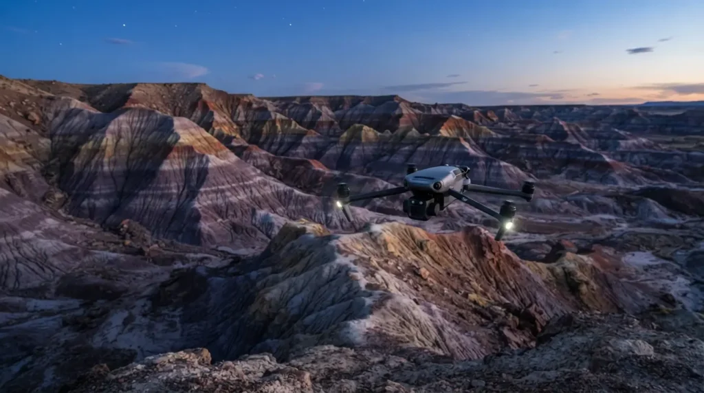
Yes, drones are allowed since the Bentonite Hills sit on BLM land, but they are banned directly over and near the Mars Desert Research Station and anywhere inside Capitol Reef National Park. Watch for posted boundary signs along the dirt road marking the restricted research land, and once you are past those markers you are clear to fly.
Can You Walk or Hike on the Bentonite Hills?
Yes, though there are no official marked trails, only social paths and washes worn in by previous visitors and animals. Stick strictly to these existing footpaths, since the clay’s popcorn textured surface can take years to heal from a single set of careless footprints. Disturbing or climbing on the rock formations here has led to fines as steep as $40,000 from the BLM, which should tell you how seriously the agency takes protecting this landscape.
Walking within the washes between the hills also comes with a practical hazard. Some of the previously disturbed sections have hollow spots underneath where the clay has washed out, so watch your footing, especially if you are hiking back to your vehicle in the dark after blue hour.
What Is the Mars Desert Research Station?
The Mars Desert Research Station, known as MDRS, is a research facility where scientists simulate Mars exploration conditions because the surrounding landscape closely resembles the Martian surface. It is private property and not open to the public, but you can view the facility from a distance along Cow Dung Road as you pass by on your way to the hills.
What Else Is There to Do Nearby?
Several other otherworldly landscapes sit within a short drive of the Bentonite Hills, making it easy to build a full day around the area:
- Factory Butte, a striking table mountain with a distinctive flat top
- Moonscape Overlook, a canyon edge view especially stunning at sunrise
- Goblin Valley State Park, home to thousands of hoodoo rock formations
- Long Dong Silver, a mysterious black rock spire popular with rock climbers
- The Temple of the Sun and Temple of the Moon inside Cathedral Valley
- Hickman Bridge, a natural bridge hike in Capitol Reef’s Fruita district
Where Can You Stay or Camp Nearby?
Free BLM boondocking is available near both hill locations, while the National Park Service runs a small first come first served primitive campground along the Cathedral Valley Loop with only six sites. Fruita Campground inside Capitol Reef takes reservations and offers more amenities if you would rather not rough it. Nearby towns Hanksville and Torrey both have motels, cabins, and short term rentals, though these fill up fast during the busy summer months, so booking ahead matters if you want a room close by.
Final Thoughts
Visiting the Bentonite Hills comes down to timing more than anything else, since the same stretch of clay can look dull at noon and unbelievably vibrant twenty minutes after sunset. Pick the Mars Desert Research Station route if you want easier access, check the weather before committing to either dirt road, and plan to arrive an hour or two before blue hour so you actually get to enjoy the show instead of scrambling to find your spot. Done right, this is one of the most surreal, underrated landscapes in all of southern Utah.
FAQs
Is it worth visiting the Bentonite Hills without a drone?
Yes, though a drone significantly improves the experience since aerial views reveal the full color and pattern of the hills that is harder to capture standing on the ground.
Can you fly a drone near the Mars Desert Research Station?
No, drones are prohibited directly over and adjacent to the MDRS facility, though flying is permitted on the surrounding BLM land once you are clear of the marked research boundary.
How far are the Bentonite Hills from Moab?
The Bentonite Hills are roughly 2 hours from Moab, making it one of the closer major towns to base a day trip from.
What happens if it rains at the Bentonite Hills?
The clay turns into an extremely slick, sticky mud that can strand even high clearance vehicles, so avoid driving in or right after rain and check current road conditions with the BLM office beforehand.
Are guided tours worth it for the Bentonite Hills?
Yes, especially if you do not have a high clearance 4×4 vehicle or want to see the full Cathedral Valley Loop, since local guides already know which sections are currently passable and can navigate the river crossing safely


