Big Sur Hike: Best Trails, Distances, and Practical Tips
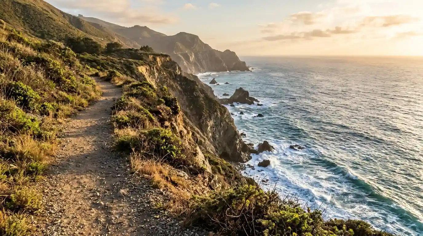
Big Sur hikes range from short coastal walks under one mile to longer loops through redwoods and ridges. Popular options include Pfeiffer Falls, Andrew Molera beach trails, and Garrapata bluffs. Most trails sit inside state parks along Highway 1. Entry fees apply at some parks. Check current closures before you go because weather and maintenance can shut sections. Distances are given in miles. The best time is spring through fall when trails are drier.
Pfeiffer Falls and Valley View Trail
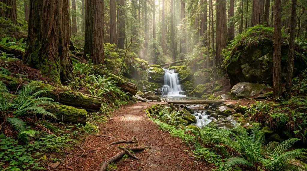
This moderate loop covers about 2.4 miles with roughly 600 feet of elevation gain. It passes through redwood forest, reaches a 60-foot waterfall, and climbs to a ridge with ocean views. The trail reopened in 2025 after earlier fire-related closures. Parking is inside Pfeiffer Big Sur State Park. The walk takes 1.5 to 2.5 hours for most people. The path is well maintained but can be muddy after rain. Bring water and wear shoes with grip.
Start early to avoid afternoon crowds. Arches hiking routes also reward early starts for cooler temperatures. The waterfall is the main highlight for many visitors. The ridge view adds the coastal panorama that defines Big Sur. Dogs are not allowed on this trail.
Andrew Molera State Park Trails
The Beach Trail and Creamery Trail form an easy 2.3-mile loop to a protected beach at the mouth of the Big Sur River. A longer ridge option reaches about 8.7 miles. Elevation gain stays modest on the short loop. Parking is at the park entrance. The beach section feels secluded compared with roadside pullouts. Allow 1 to 1.5 hours for the short version. The longer ridge walk needs more time and fitness. River crossings can be wet in spring.
The park offers a mix of meadow, river, and ocean. Acadia coastal walks share a similar blend of forest and shore. Watch for poison oak along the edges. The short beach loop suits families and first-time visitors. Arrive before mid-morning on weekends.
Garrapata State Park Bluffs and Canyon
Garrapata Bluffs Trail offers easy coastal views over 1 to 2 miles with little elevation gain. The Soberanes Canyon and Rocky Ridge loop is more strenuous at about 4.4 miles and 1,750 feet of gain. Parking is in roadside pullouts along Highway 1. No formal entrance fee applies at the pullouts. The bluff walk takes under an hour. The canyon loop needs 2.5 to 3.5 hours. Wildflowers appear in spring. The trails stay open year-round unless storms close Highway 1.
These walks sit closer to Carmel than the southern Big Sur parks. California family trips often stop here for a quick scenic walk. The bluffs give wide ocean views without a long commitment. Stay on marked paths to protect the habitat.
Julia Pfeiffer Burns State Park Options
Ewoldsen Trail is a moderate 4.5- to 5-mile loop with about 1,300 feet of gain. It combines redwoods, a creek, and coastal overlooks. Partington Cove Trail is a shorter 1-mile out-and-back to a cove and bench. McWay Falls overlook trail has faced closures for repairs; check status before visiting. Parking is limited inside the park. The Ewoldsen loop takes 2 to 3 hours. Partington Cove takes under an hour. Fees apply at the main lot.
The park sits south of Pfeiffer Big Sur. Steep coastal trails in other parks share the same need for sure footing. The cove trail includes a short tunnel section. Bring a light layer because coastal fog can drop the temperature quickly.
Shorter Roadside and Easy Walks
Salmon Creek Falls is a 0.5-mile round trip from a Highway 1 pullout to a multi-tier waterfall. Partington Cove (when open) and various bluff pullouts offer similar short stops. These walks need no park entry fee in most cases. They suit drivers who want a stretch without a full hike. Time on trail is 20 to 45 minutes. Surfaces can be uneven. Parking fills on sunny weekends. Combine two or three short stops on a drive through the area.
These options work when time is limited. Short scenic stops on other road trips follow the same pattern. Always use official pullouts rather than stopping on the highway. The views remain strong even on brief walks.
What to Bring and Safety Notes
Carry at least one liter of water per person, snacks, a map or offline trail app, and a light jacket. Wear closed-toe shoes with tread. Sunscreen and a hat help on exposed bluffs. Cell service is limited, so download maps ahead. Poison oak grows along many trails; learn to identify it. Ticks appear in grassy sections. Tell someone your route and expected return time. Turn back if fog or wind increases suddenly.
State park fees range from about 10 USD per vehicle at staffed entrances. Travel packing lists should include these basics for any coastal hike. Check the California State Parks site the morning of your visit for closures. Highway 1 can close after heavy rain.
Best Seasons and Crowds
Spring and fall bring milder temperatures and fewer visitors than summer. Summer weekends see the most cars at popular trailheads. Winter trails can be muddy or closed after storms. Wildflowers peak in April and May on many bluffs. Fog is common in summer mornings and often burns off by afternoon. Start hikes before 9 a.m. to secure parking and cooler conditions. Weekday visits avoid the largest groups.
The area stays beautiful year-round when trails are open. Fall color trips in other regions also favor shoulder seasons for fewer crowds. Book lodging in advance if you plan an overnight stay nearby. Day hikes from Carmel or Monterey are feasible for the northern trails.
FAQs
Big Sur hike
Big Sur offers hikes from easy 0.5-mile waterfall walks to moderate 2- to 5-mile loops through redwoods and along bluffs. Pfeiffer Falls, Andrew Molera beach trails, and Garrapata bluffs are among the most visited. Most sit in state parks along Highway 1. Check closures and bring water.
What is the best easy hike in Big Sur?
Garrapata Bluffs or the short Andrew Molera beach loop. Both stay under 2.5 miles with modest elevation. Salmon Creek Falls is even shorter at 0.5 miles. These suit most fitness levels.
How long is the Pfeiffer Falls trail?
About 2.4 miles round trip or loop with roughly 600 feet of gain. It takes 1.5 to 2.5 hours. The trail includes redwoods, a waterfall, and a ridge view. It reopened in 2025.
Are there fees for Big Sur hikes?
Yes at staffed state park entrances, often around 10 USD per vehicle. Some roadside pullouts have no fee. Confirm on the park website. Parking can fill on weekends even with a fee.
Can I hike with a dog?
Rules vary by park and trail. Many popular trails do not allow dogs. Check the specific park page before you go. Leashed dogs may be allowed in some picnic areas but not on the trails themselves.
What should I wear?
Closed-toe shoes with good tread, layers for changing temperature, and a hat. Trails can be rocky or root-covered. A light rain jacket is useful even on clear forecasts because fog moves in quickly.
Is cell service available?
Service is spotty or absent on most trails. Download offline maps and tell someone your plan. Do not rely on a phone for navigation or emergencies.
When is the best time to hike?
Spring and fall for milder weather and fewer people. Summer mornings before crowds and heat. Avoid trails right after heavy rain when mud and closures increase. Check conditions the day you go.
Are the trails crowded?
Popular ones such as Pfeiffer Falls and McWay area pullouts fill on summer weekends. Weekday mornings are quieter. Shorter roadside walks see steady but manageable traffic. Arrive early for parking.
What about McWay Falls?
The overlook trail has faced long-term closures for repairs. A roadside pullout may still offer a distant view. Confirm the current status on the state parks site before planning a stop.
How do I get to the trailheads?
Drive Highway 1. Northern trails are reachable from Carmel in under an hour. Southern ones take longer. Use official parking lots or marked pullouts. Do not stop on the roadway.
Is Big Sur hiking suitable for beginners?
Yes on the short bluff and beach loops. Start with Garrapata or Andrew Molera. Build up to Pfeiffer Falls or Ewoldsen if you want more elevation. All require basic fitness and proper shoes.